Original link: https://www.kawabangga.com/posts/5095
As mentioned in the last book, the trip has refreshed the southernmost point I have ever been to. I went to Indonesia again last week, and this time I went to refresh the highest point I have been to. We went to Lombok and climbed the Rinjani volcano.
Rather than a trip, this time is more like a challenge of practice, physical strength and endurance. After returning, I am exhausted physically and mentally, which is completely different from the previous travel and vacation.
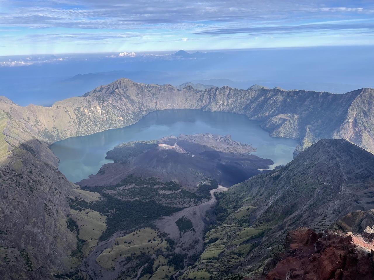
Rinjani is the second tallest volcano in Indonesia with a total of 3726 meters. Compared with other mountains, volcanoes have many peculiarities, such as peculiar landforms, volcanic lakes, volcanic ash on the road and so on.
It was also my first time climbing a volcano (and probably my last). This article is still a running account to record the itinerary for the past few days. If you also want to go, I will write some precautions at the end of this article.
Day 0: Arrive in Lombok, see the waterfall
On the first day, I arrived at Longmu Island (Lombok) happily by plane. At this time, I was very happy and completely unaware of the seriousness of the situation.
It takes 3 hours from the airport to the hotel, which is quite far. We lived directly at the foot of the mountain. If we took a long-distance car on the day of climbing the mountain, it would be too much.
The road is basically built along the coastline of the island, so the sea can often be seen on the left side of the road.
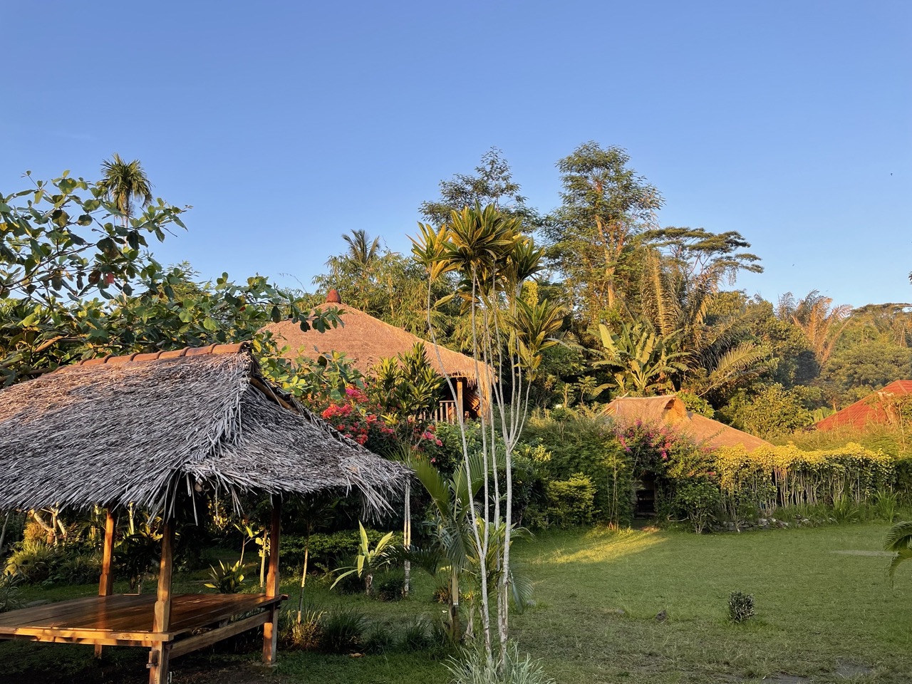
The hotel we stayed at was Rinjani Light House , and the owner is an American. It can be seen that the owner likes coffee very much. There are many books and posters related to coffee in the store.
The hotel is beautiful, very rustic cottages. The price is also very cheap (cheaper than renting an apartment in Singapore).
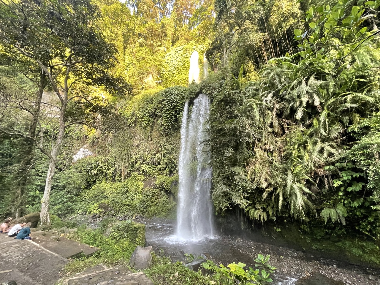
After checking in, we went to a nearby waterfall for a stroll. Unexpectedly, there are so many stairs to go down to this waterfall. When I came back, I was almost exhausted.
Tickets for the waterfall are 20,000 Rp.
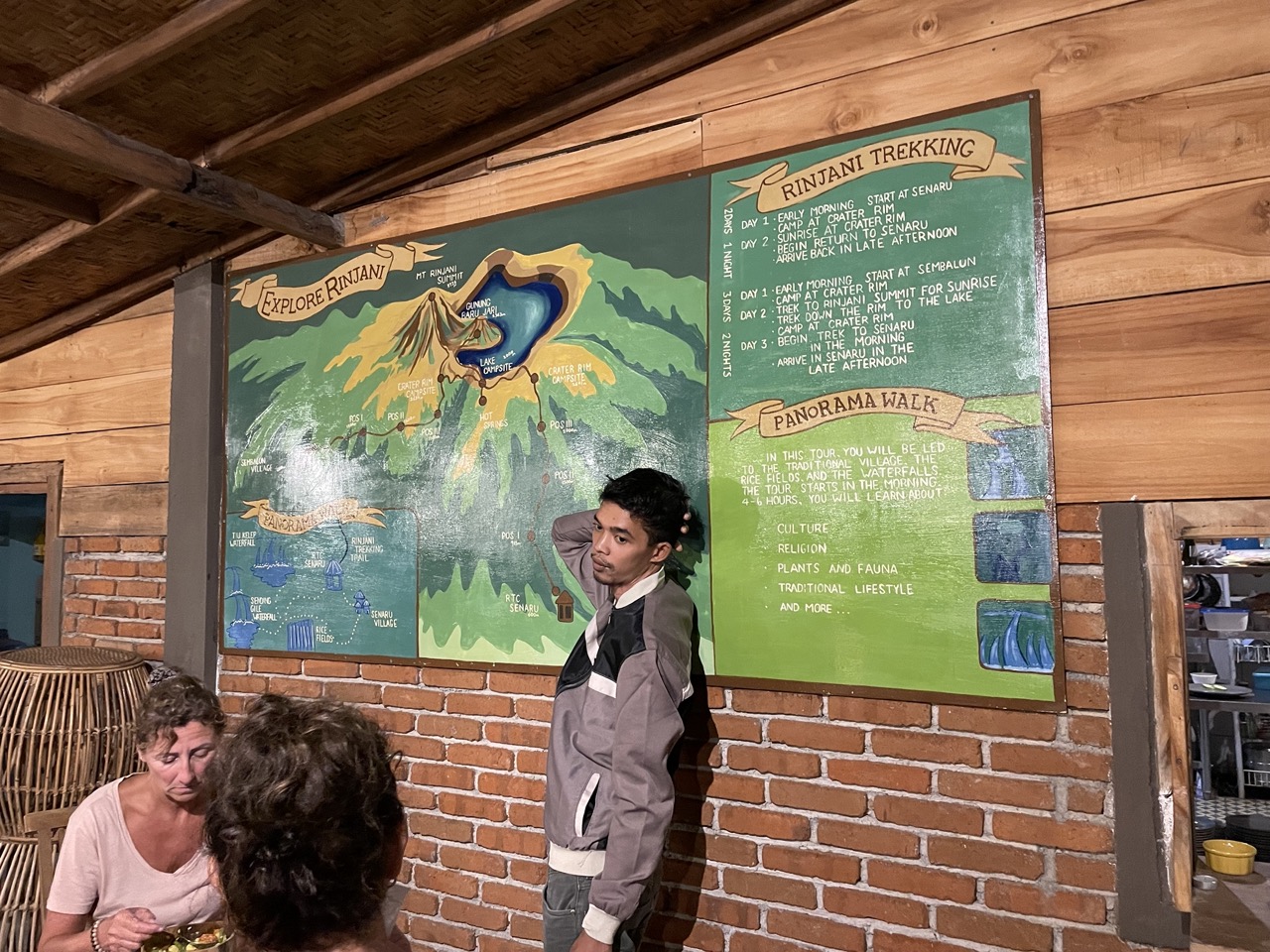
We had dinner early in the evening, and the climbing company (we chose Rinjani Dawn Adventures ) came to the hotel for briefing. Tell us the general route and answer questions. Travelers can also get to know each other. There is a team of young New Zealand couples and two Canadian aunts in the same company as us. But we didn’t actually go together. The two of us were in a single group, including a Guide and 2 Porters. It should be like this configuration for every two people. Porter will help us bring food, drinking water for 3 days, tent sleeping bags, etc. We have to carry all other personal belongings ourselves, including clothes, tools, etc. I have to carry a 1.5L bottle of water almost all the time, and ask the guide for another bottle after drinking, and carry the water I drink by myself. (I found out the next day that the Canadian aunt’s group is quite advanced. They don’t need to recite things by themselves. The Guide can help me recite them. Maybe the package you bought is more expensive, lol)
Day 1: Depart from Sembalun and arrive at the campsite in the afternoon
We got up at 6 in the morning, and the car came to pick us up on time. The Canadian aunt lived in the same hotel as us. We got on the car together, and then went to pick up the other two people. When we arrived at their company, we did another briefing.
If you lack something here, you can borrow it from them, such as headlights, jackets and so on. It is best to re-check your equipment, because there are so many things to bring, it is inevitable that there will be omissions.
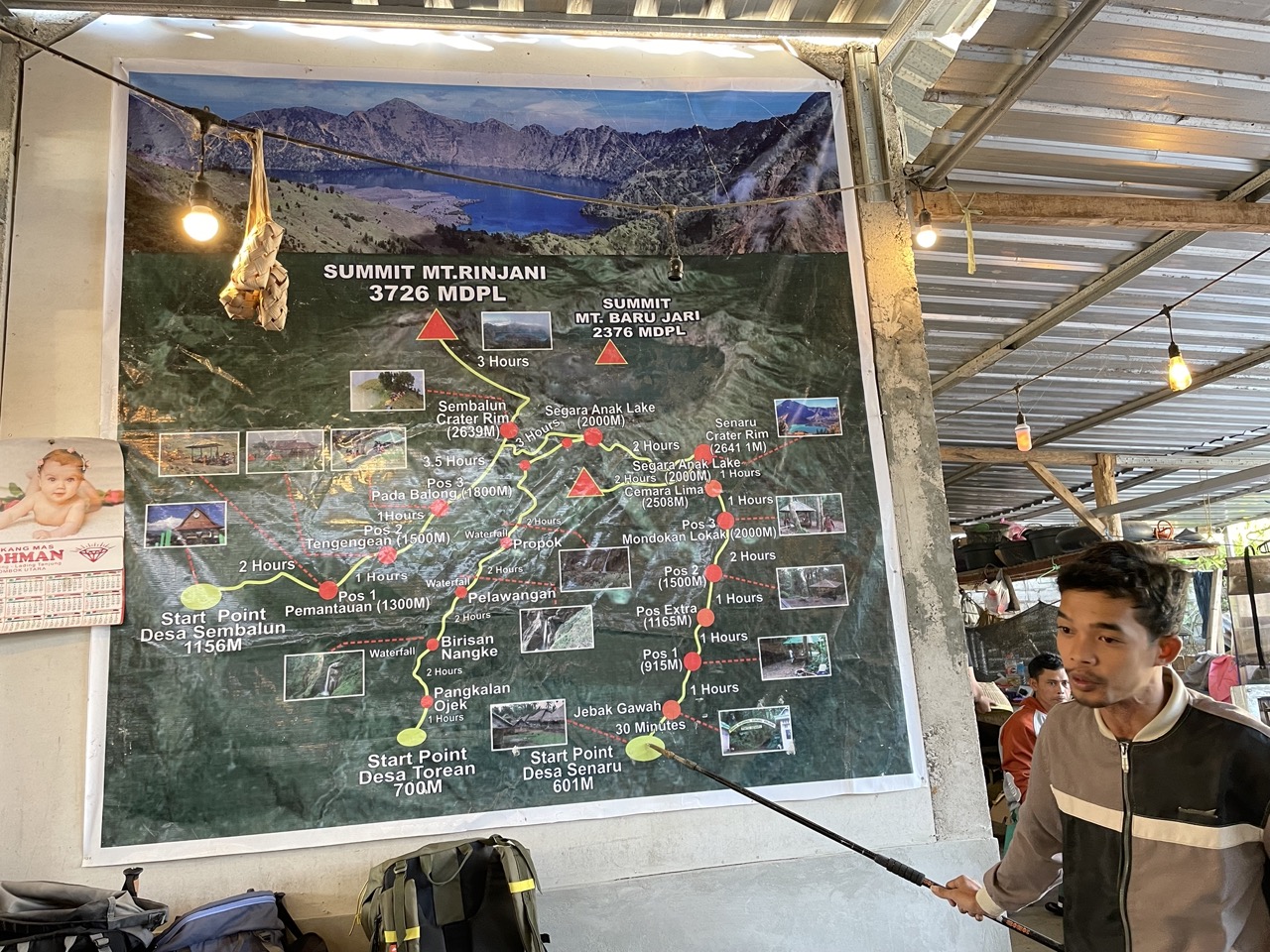
When everything is ready, start to the starting point. Our route is uphill from Sembalun and downhill from Senaru.
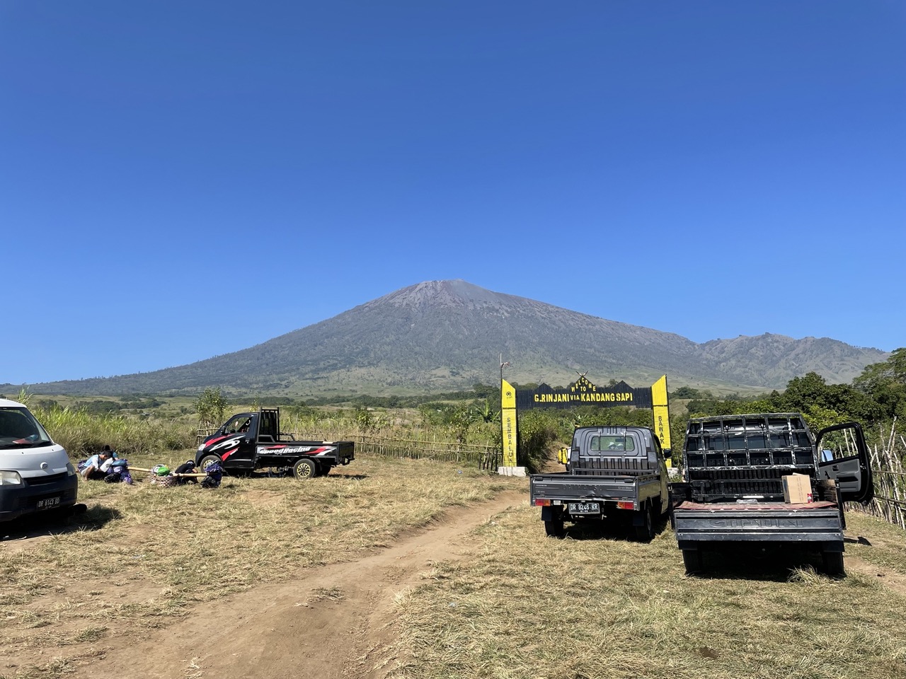
Before going to the starting point, I went to a place to do a Medical Checkup. In fact, I filled out a form and measured my blood pressure. Then we took the car again, finally arrived at the starting point, and our journey officially started.
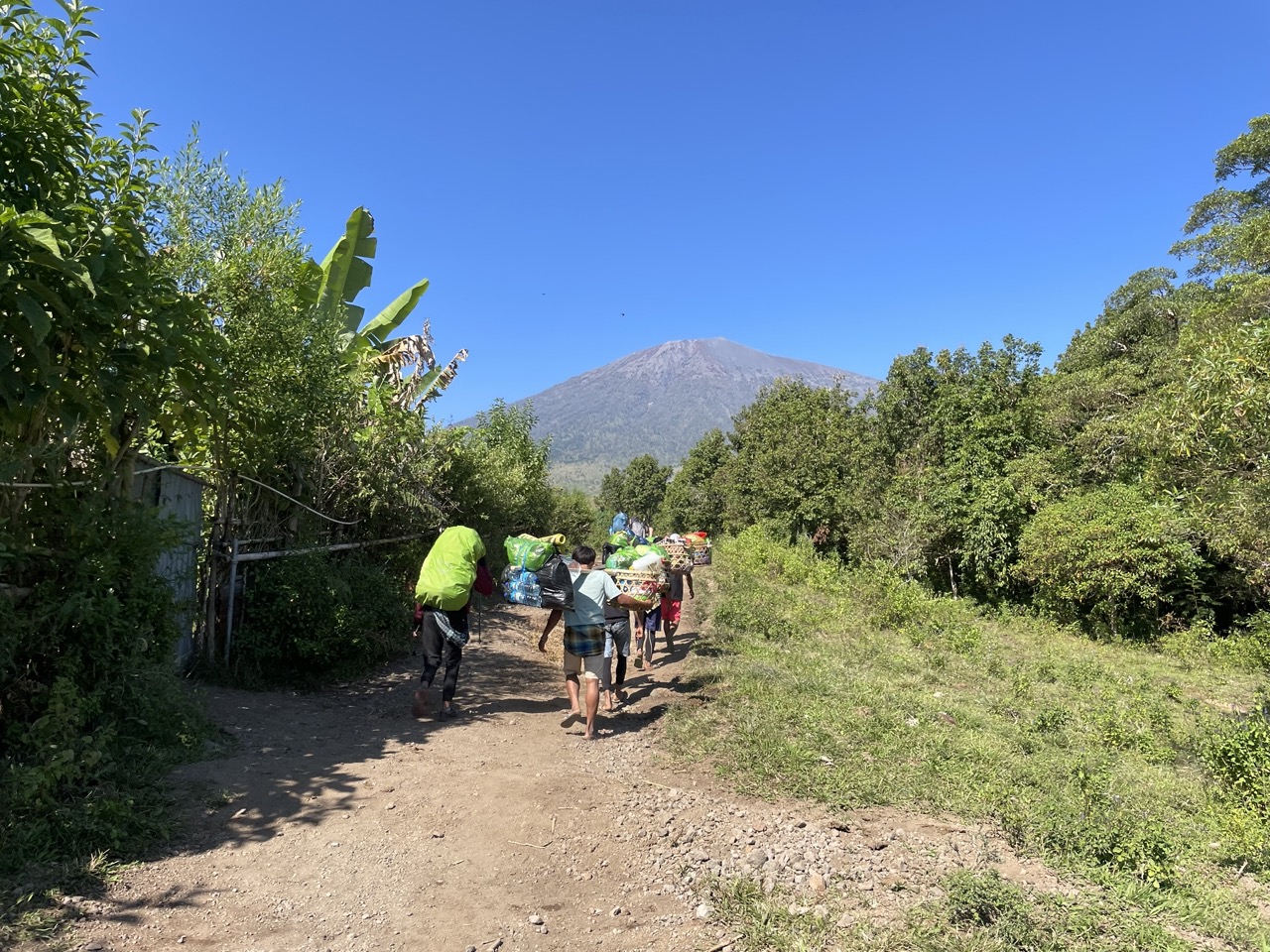
The Porter squad, overtook us in no time, and… all in flip flops. There are many very steep roads in the back, almost straight up and down, and some places need to use ropes and ladders. I don’t know how these roads are passed by Porter…
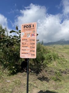
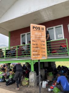
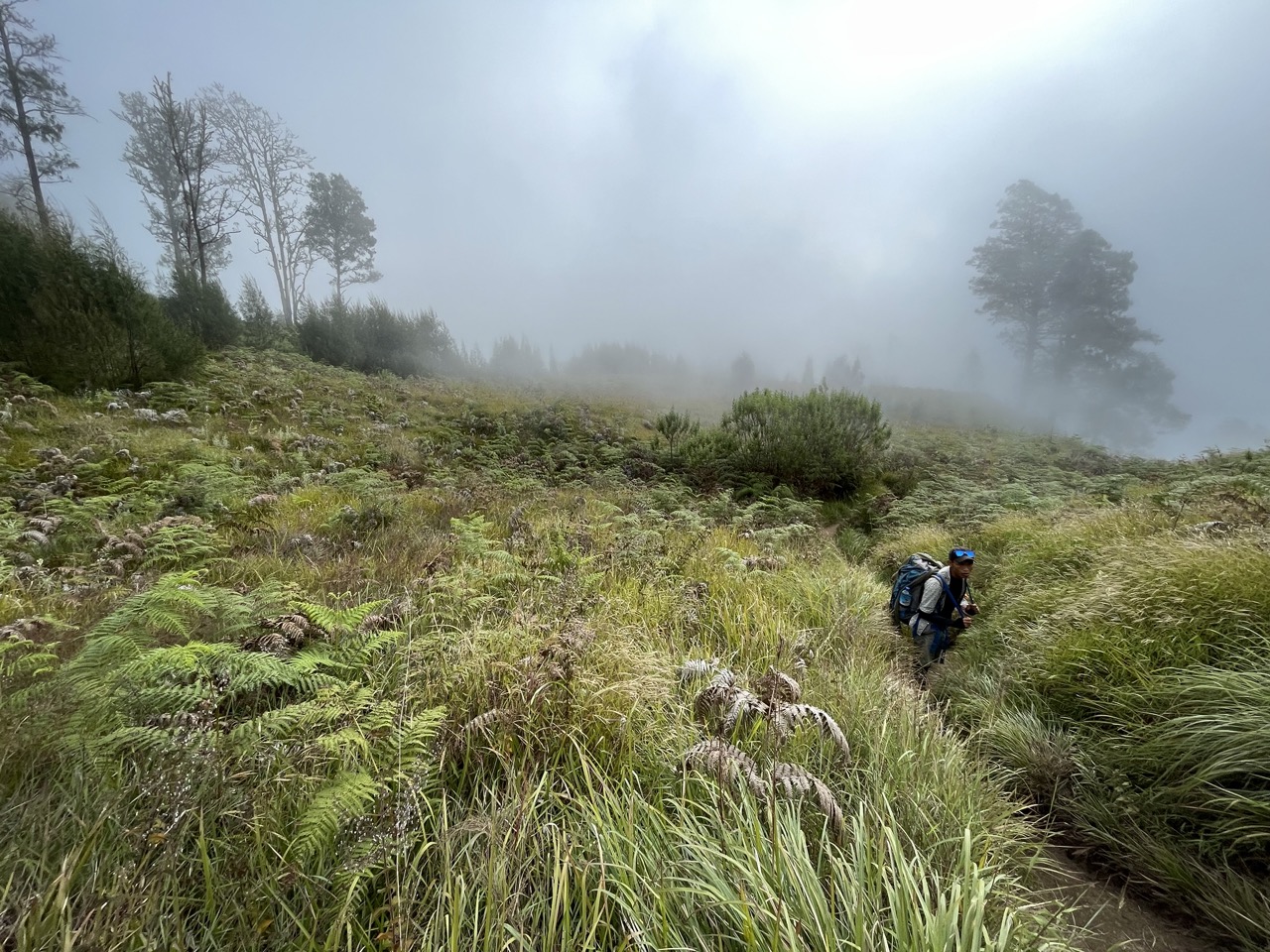
In today’s route, Pos 1 to Pos 3 are very simple, the road is relatively flat, about three hours is enough, but Pos 3 to the camp is very steep, although the road looks short on the map, it takes 3-4 Hour.
By Pos 2, the Porter was already waiting for us and they could make lunch when we arrived.
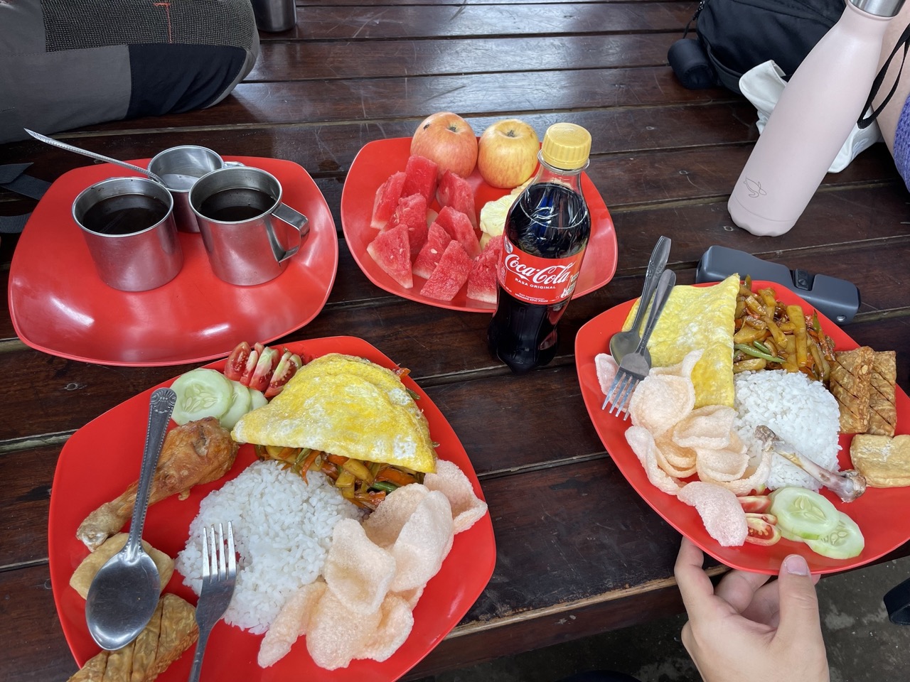
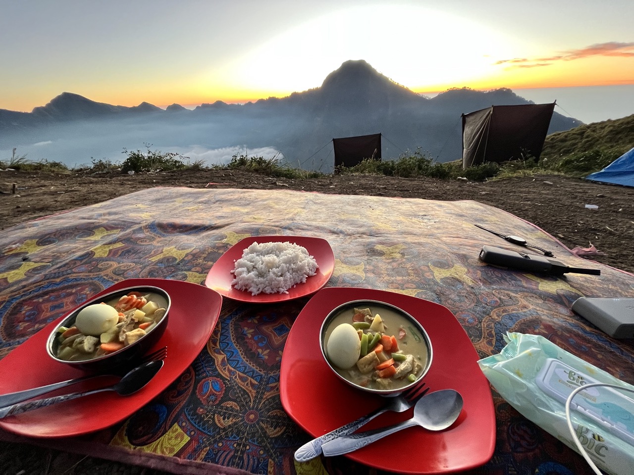
Each meal has a main course, soft drinks, hot drinks, fruit plate. It’s so rich that you can’t finish every meal.
Continue to leave after eating. On the first day, I felt in good condition, and within the scope of my ability, I will reach my destination after a little persistence. There was already some volcanic ash on the last section of the road, it was slippery, and I fell down.
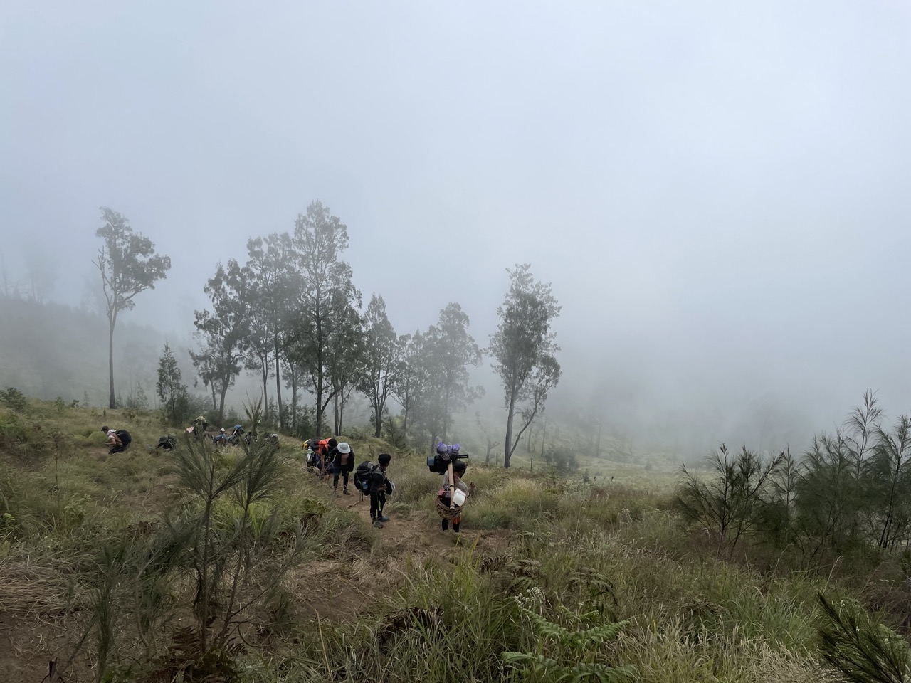
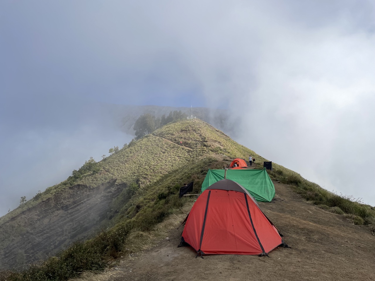
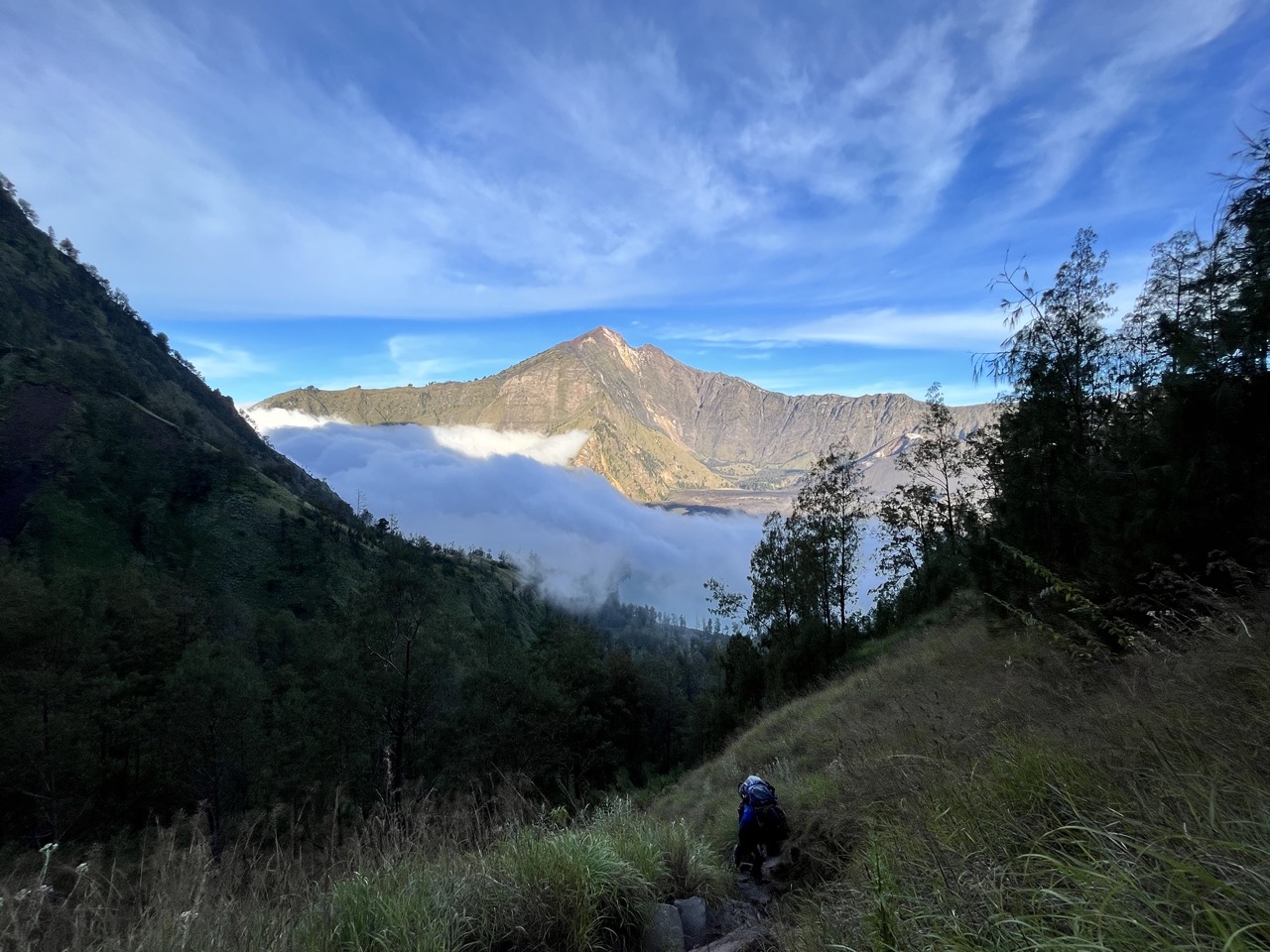
From Pos 3 onwards, the road was covered with clouds and mist, and the weather was very cool. Although it was a bit wet, it was not stuffy, so it was quite comfortable.
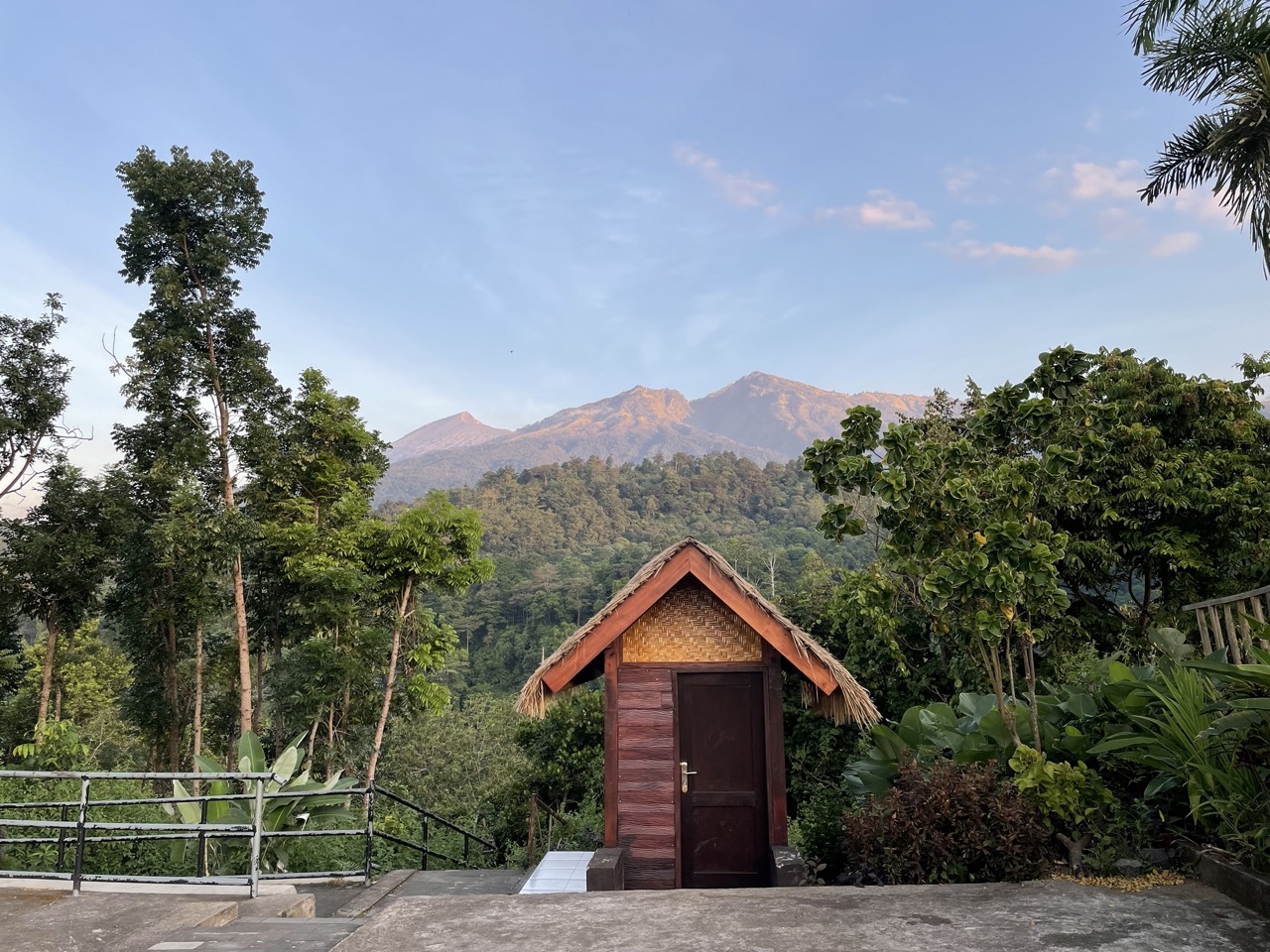
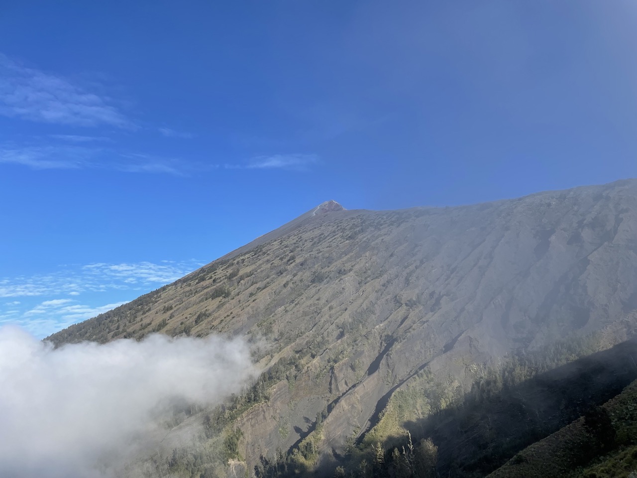
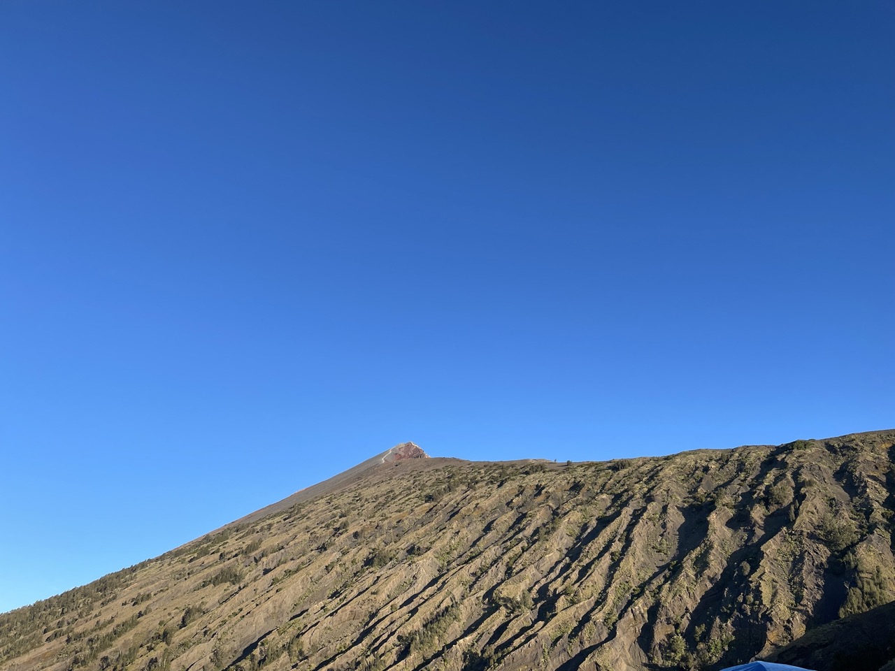
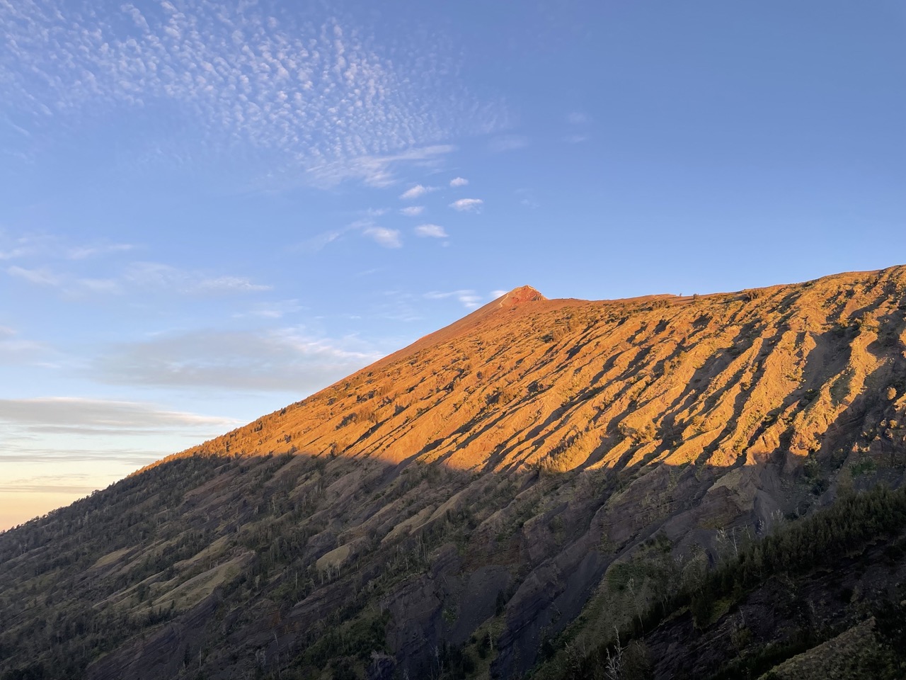
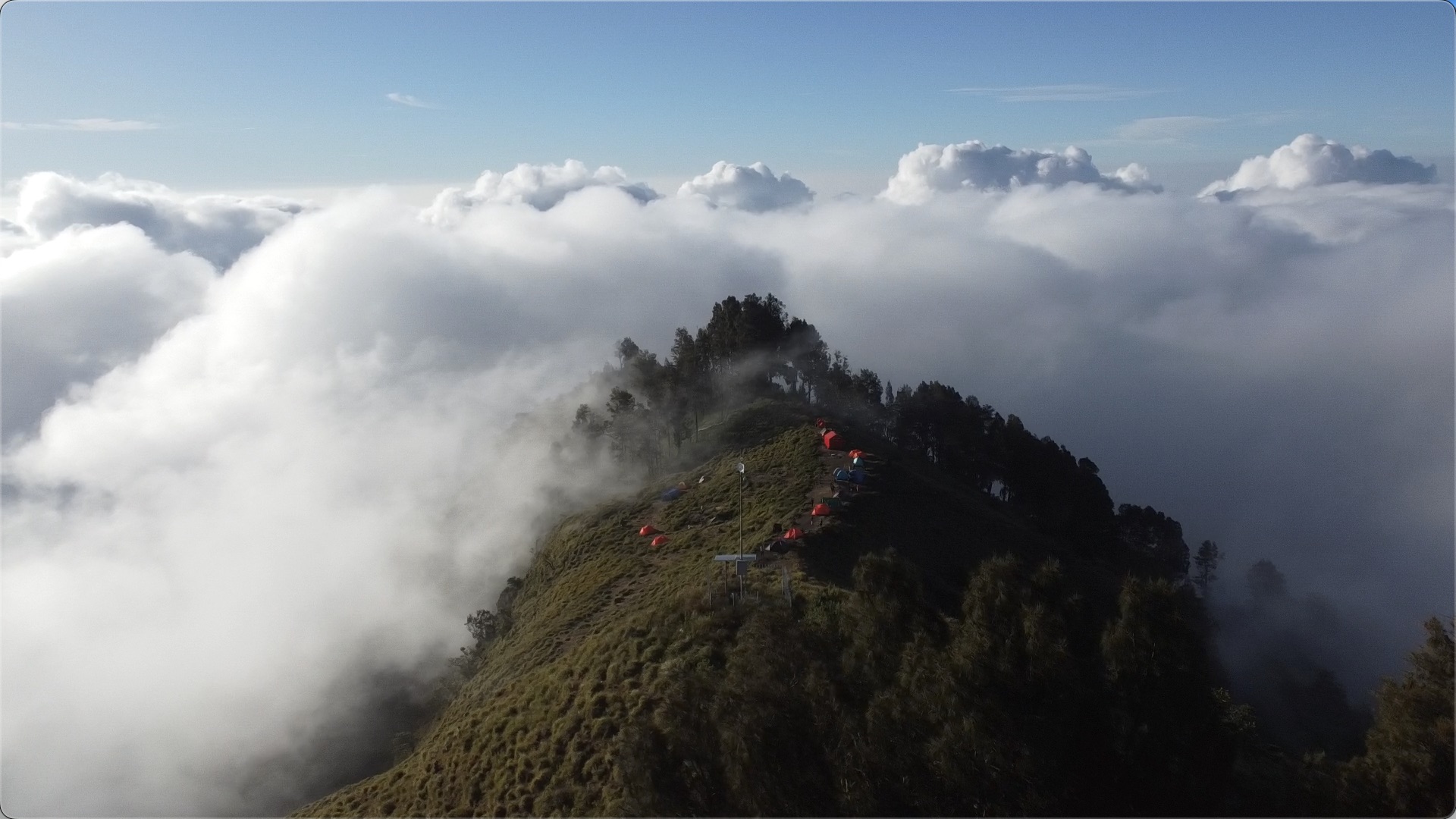
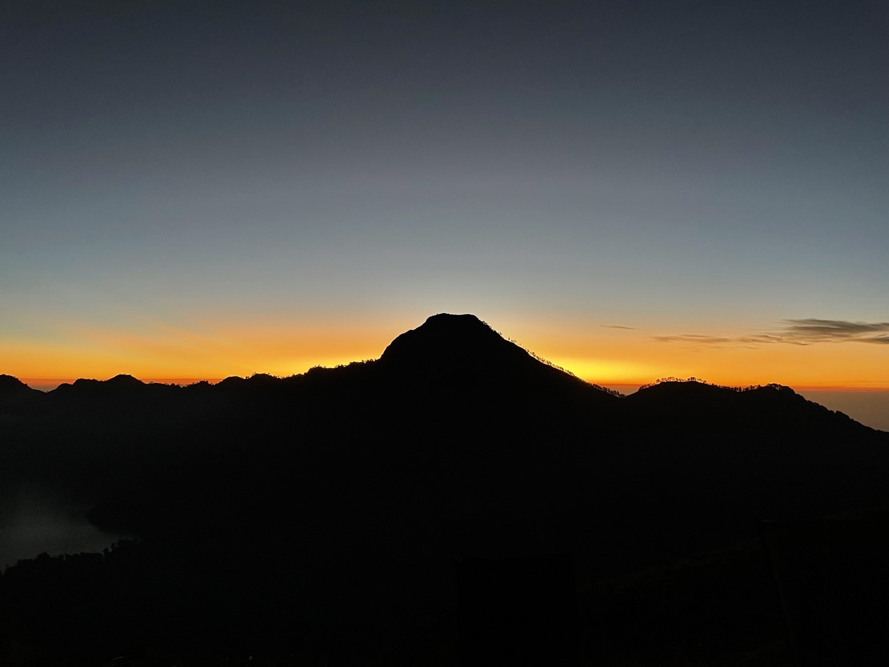
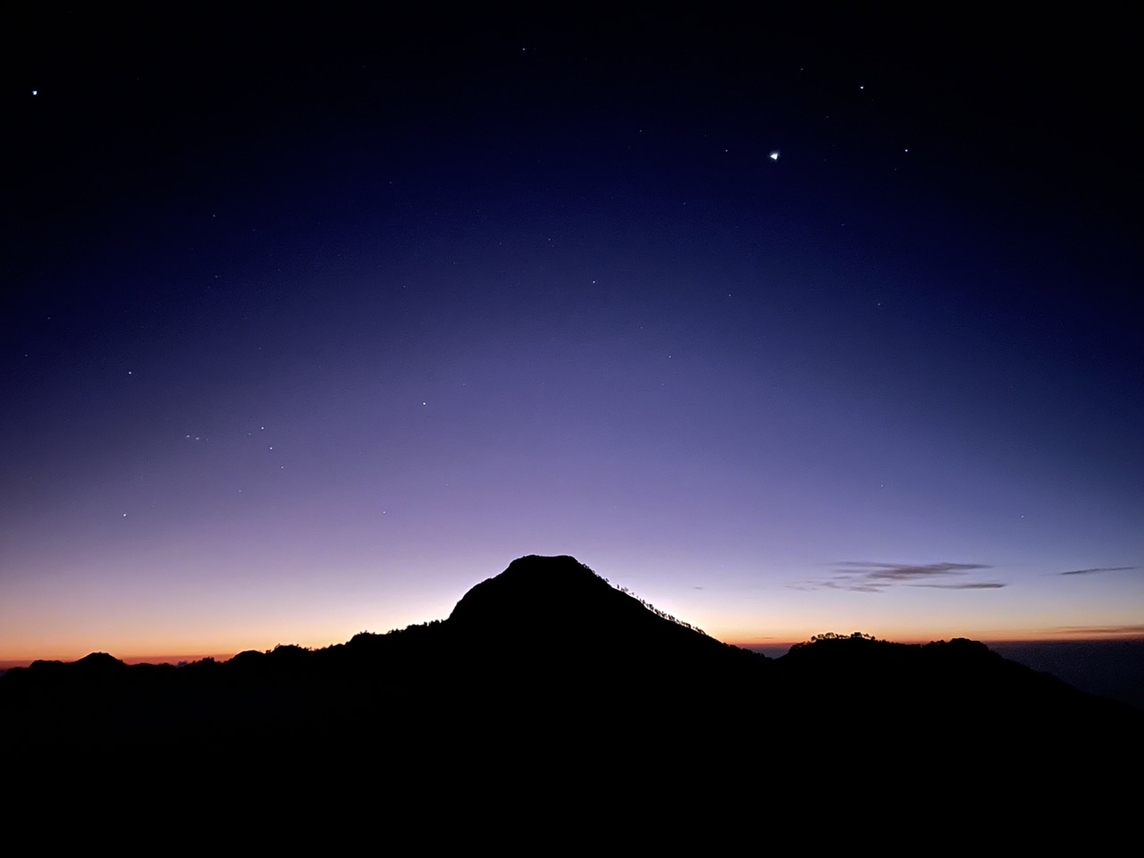
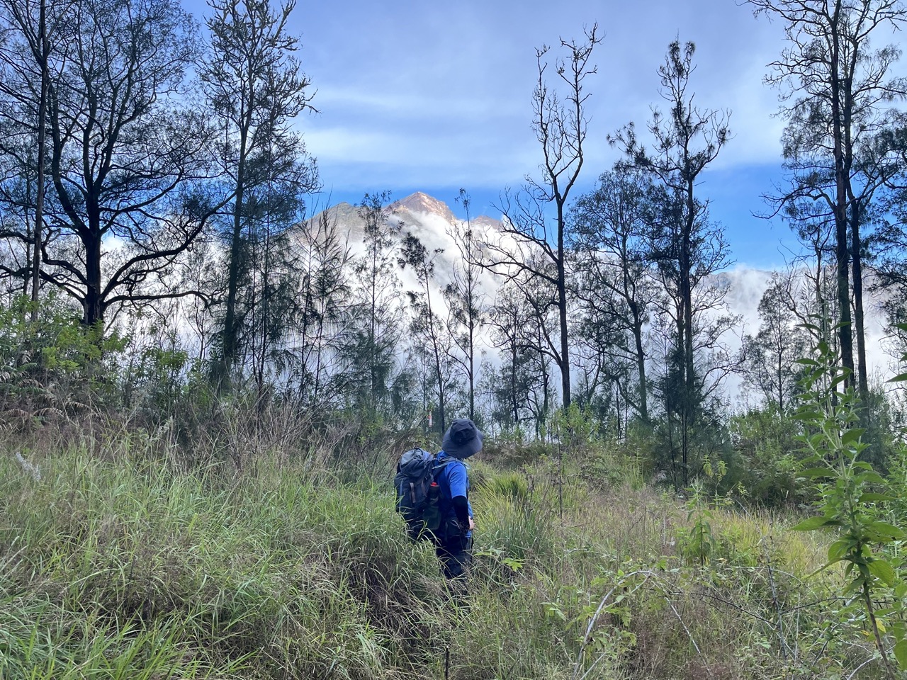
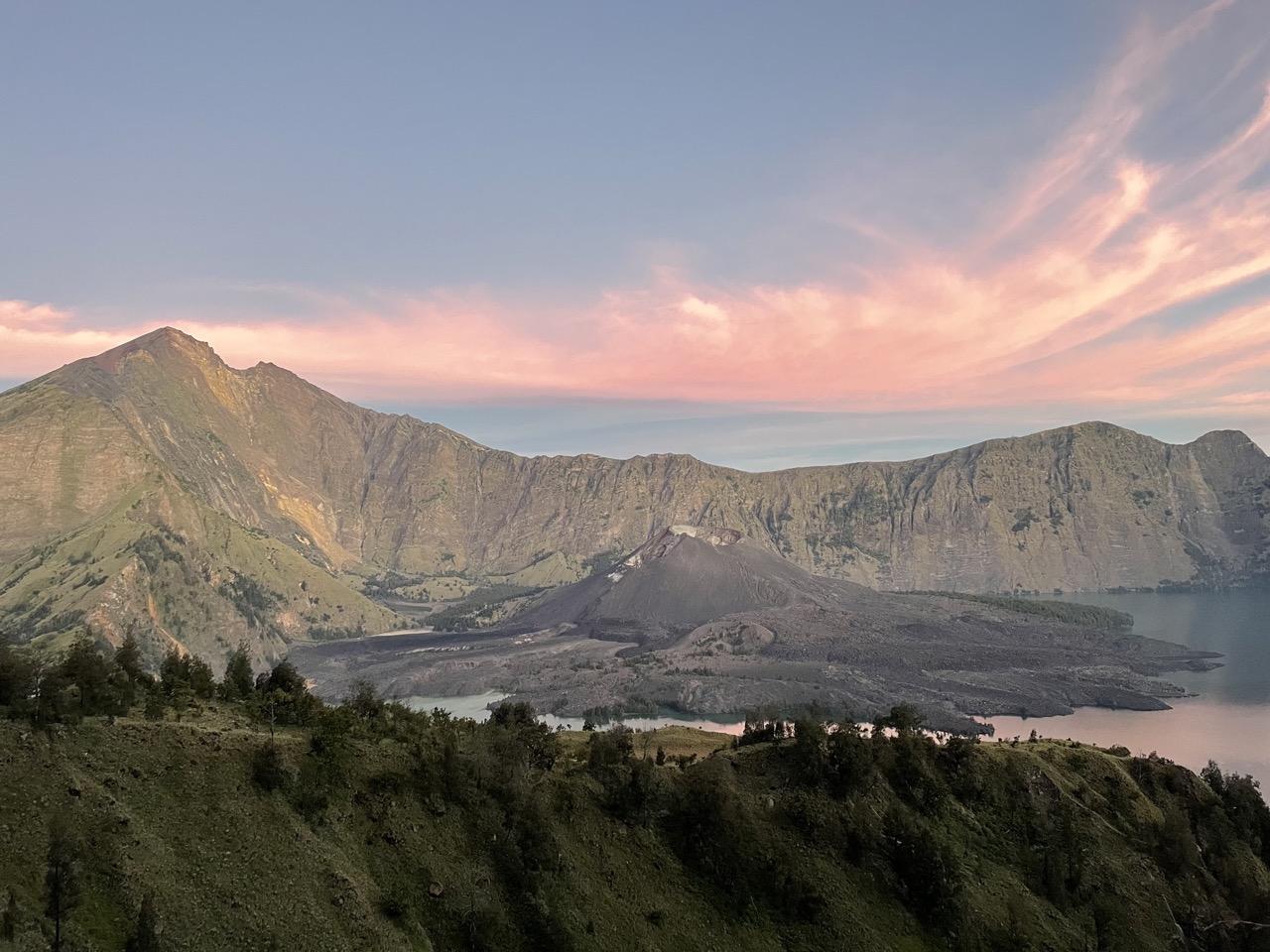
Arrived at camp around 5pm. In the distance, you can see the peak to go to the next day, and there are still some clouds and fog at this time. But after a while, it all dispersed, and the sky was very blue and pure. It can almost be described as sunny and sunny, and luck is better. Enjoyed a full sunset here.
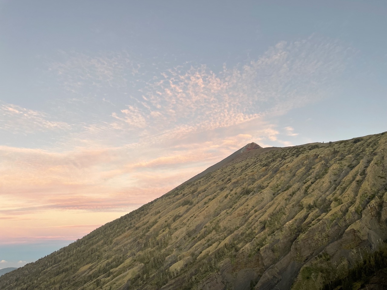
You can see Mount Rinjani in the distance. I came earlier, and I saw a complete cloud and mist dissipate to the sunset scenery, which is very good
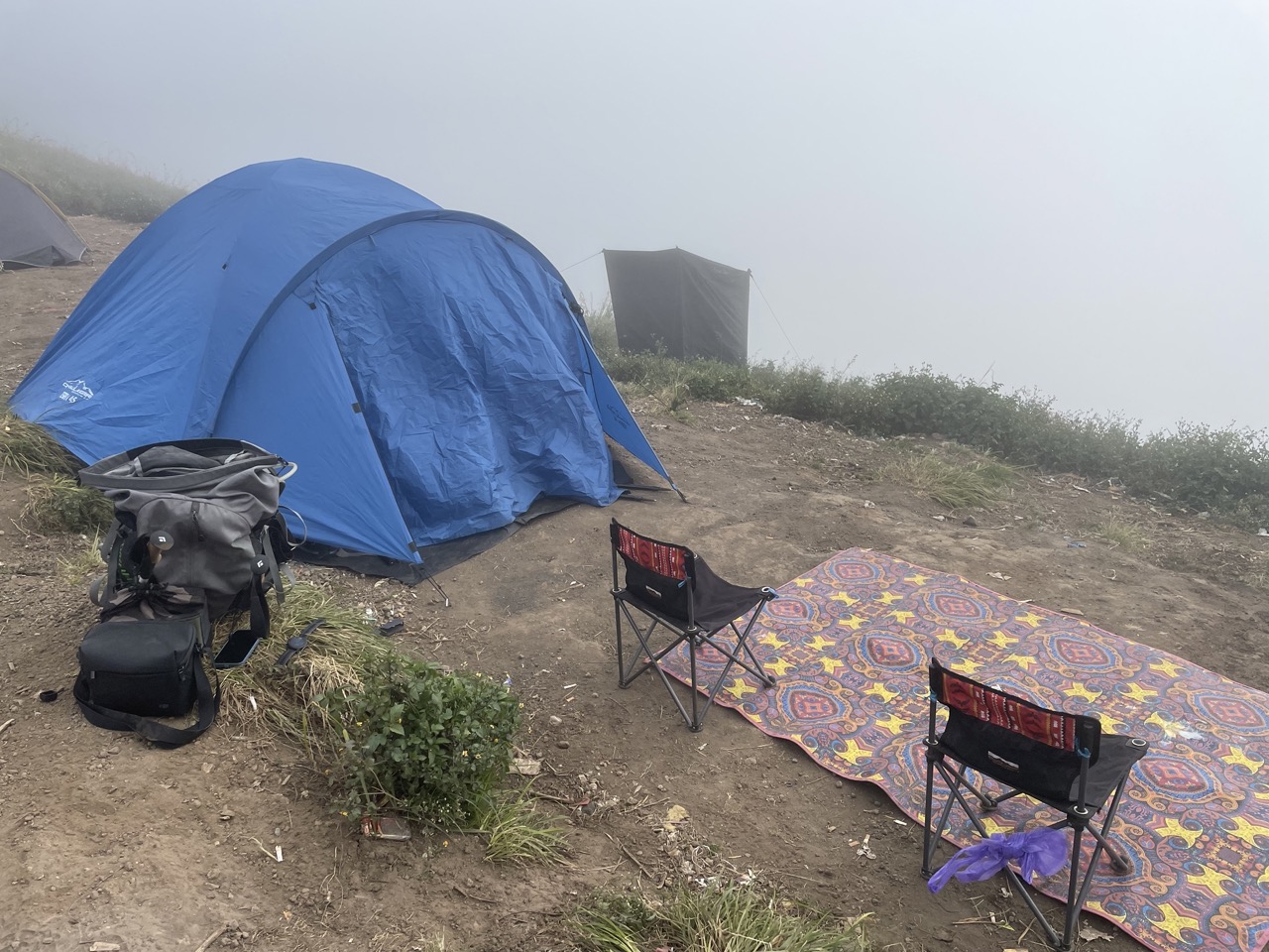
After the sun went down, the temperature immediately dropped. Tonight’s meal happened to be hot soup, and I felt very happy in my hand. Oh, by the way, I ate fried banana pancakes before meals, which were also delicious, but the monkey snatched one away.
After dinner, we got into the tent to recharge our batteries for the next day’s summit rush.
There was another episode when I went to sleep at night. An animal came and sniffed around our tent. It should be a wild boar.
Day 2: Climb to the summit at 2:00 in the morning, and hike for 6 hours in the afternoon to reach the second camp
Woke up on time at two o’clock in the morning, this meal was an extra breakfast, just a bowl of instant noodles, which turned out to be not enough afterwards.
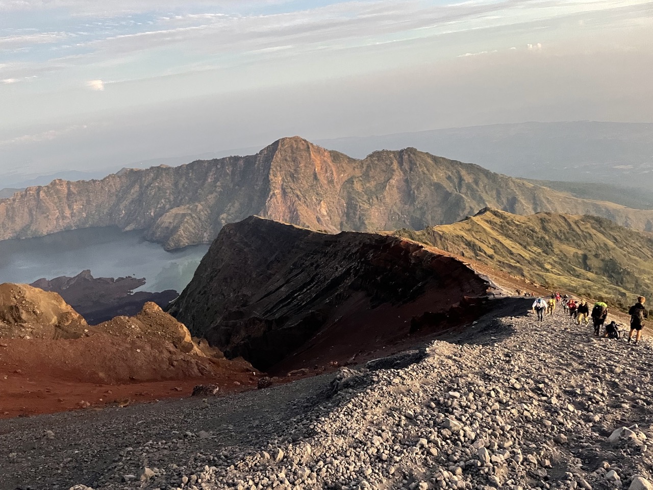
The road to the summit is divided into three sections. The first section is from the camp to the ridge. It is very difficult to walk. There are ladders and ropes on the road. Most of the terrain is inside the woods. A patch of bright headlights could be seen in the distance on the road.
The second section is up the mountain along the ridge. Although the slope is not small, but just finished the first section, you will feel that this place is so simple.
The last paragraph is simply disappointing. The whole section of the road is made of volcanic rocks, very slippery, two steps and one step, and steep, and the large slopes on both sides look like cliffs.
My strength felt quickly exhausted during this period. At this time, our altitude rose from 2600m in the camp to more than 3000m, and the last 600m was particularly difficult. At this time, the feeling is that I can’t step up my legs, can’t use my strength, and my head feels light, as if I am going to faint at any time. (Later, I also felt this way. It was concluded that it would be like this if it exceeded 2000 meters. It would be much better to descend for a while. It should be altitude sickness).
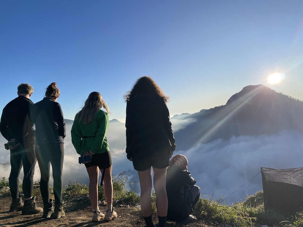
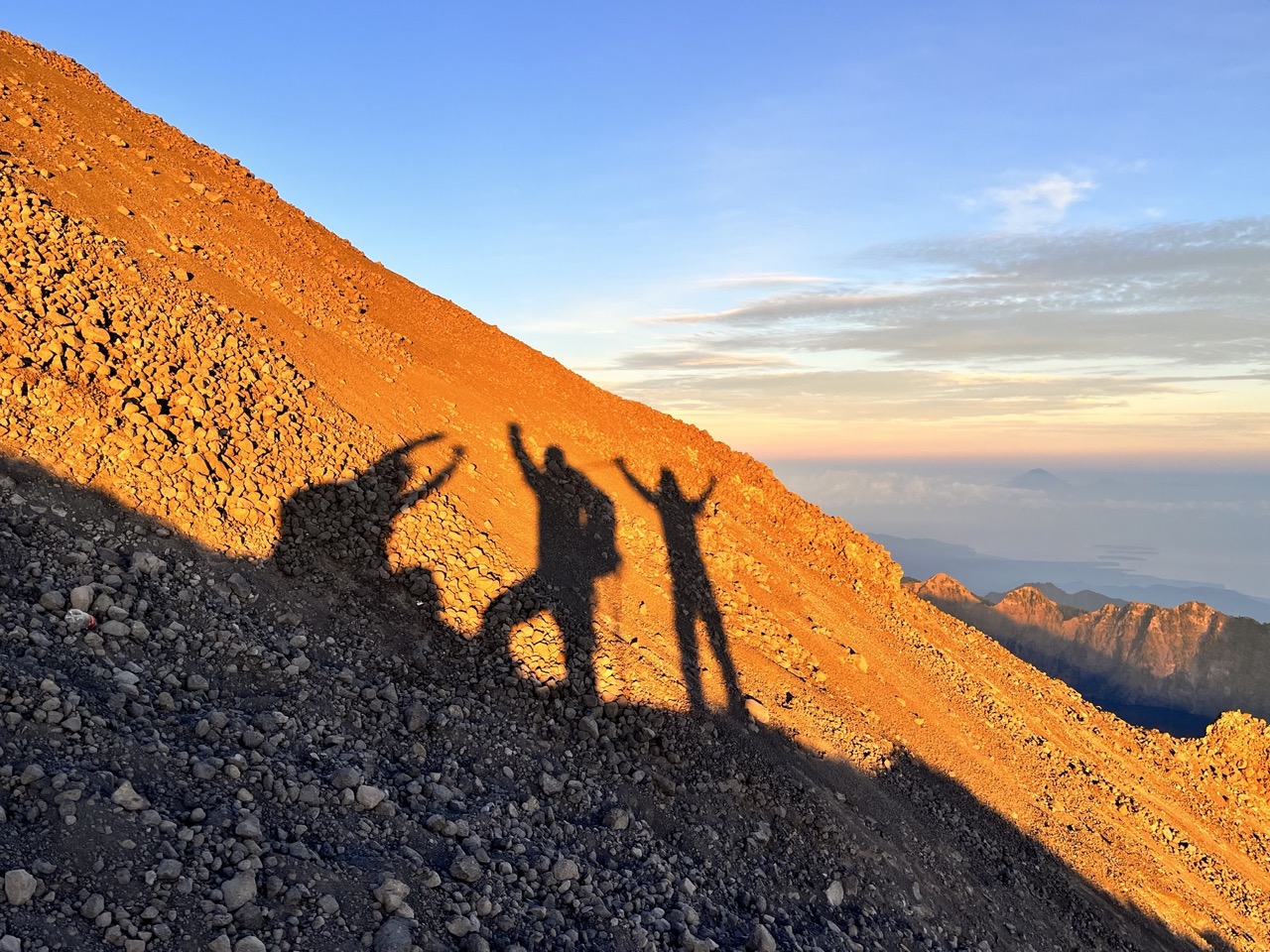
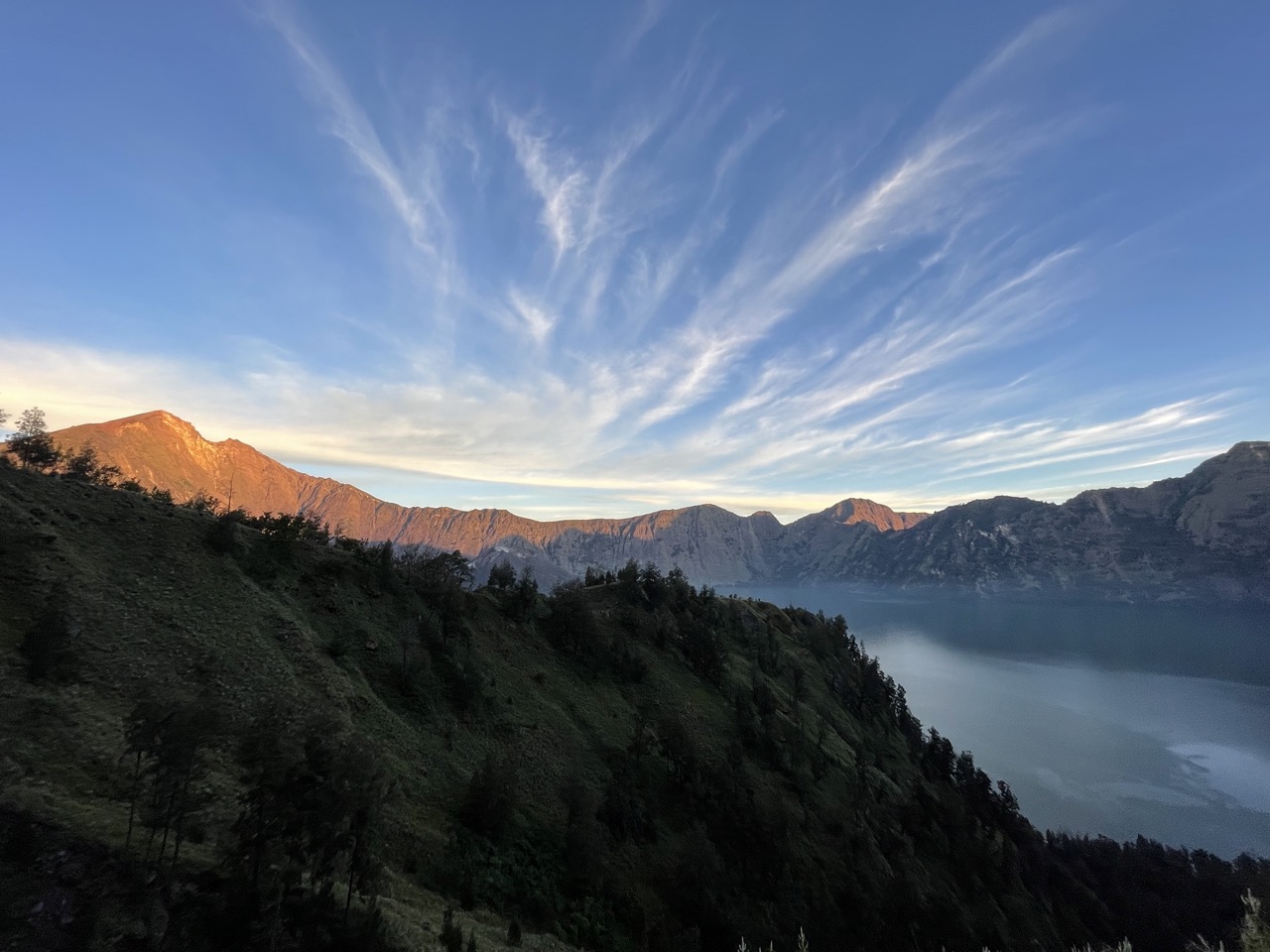
It’s already 6 o’clock, and it’s too late to go to the top of the mountain to watch the sunrise. Fortunately, we found that the sunrise halfway up the mountain is also beautiful. Just watch the sunrise here before continuing.
Guide said he could help me and I could hold his hand. At this time, I really didn’t have any strength at all, so the last few hundred meters probably went up like this…
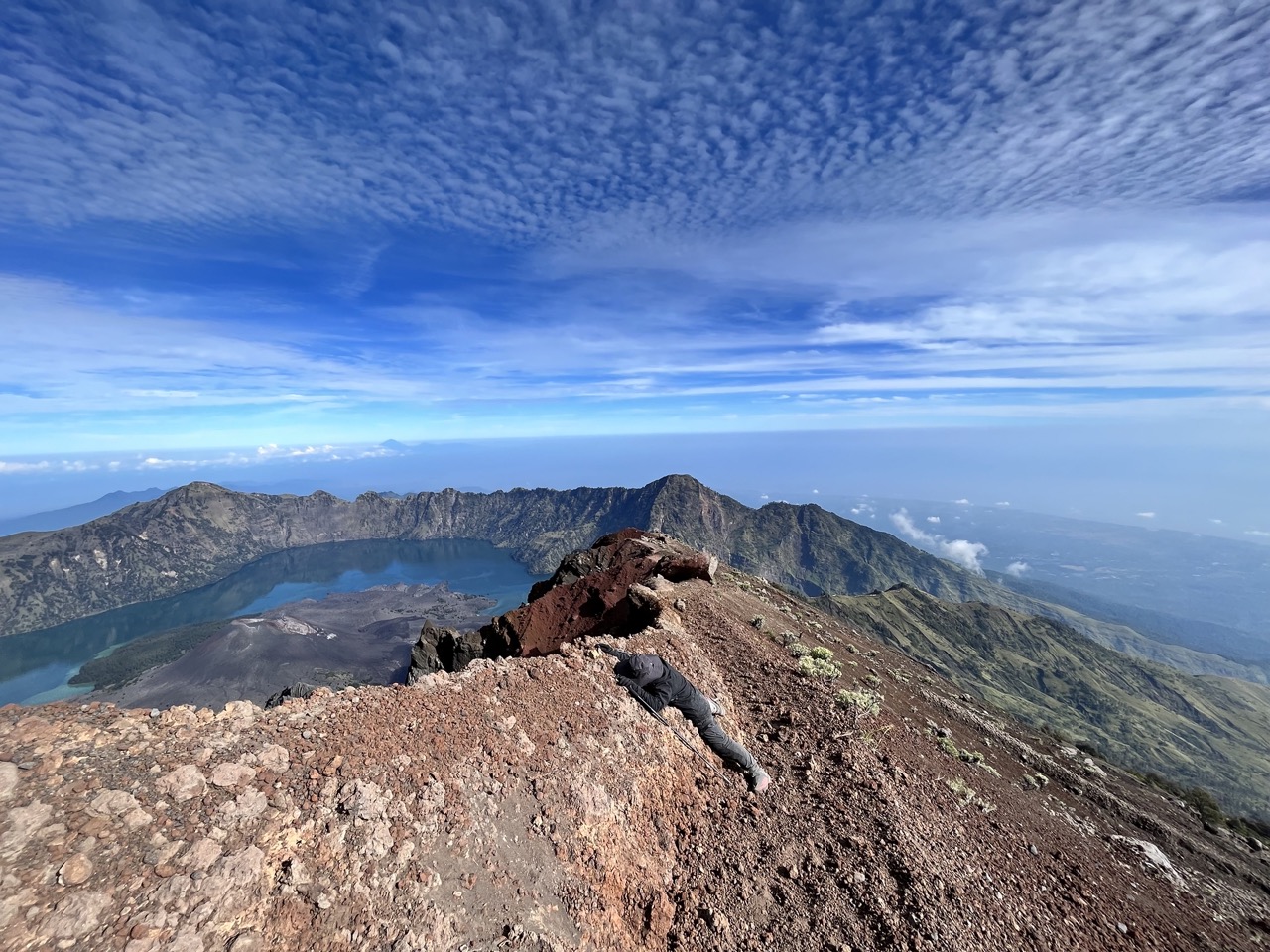
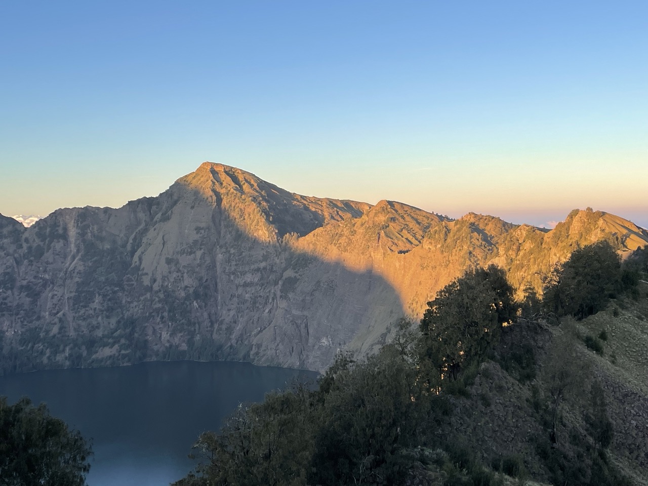
I finally reached the top of the mountain. To be honest, the scenery on the top of the mountain is relatively ordinary (you can compare the photos taken when you went down the mountain later). After resting at the top of the mountain, we started to descend.
It doesn’t take much effort to go down the mountain, but because the sun comes out, it becomes very dry immediately, and we wear a lot of clothes, so it feels dry out by the sun. There are not many rests on the road, and I want to go back along the way.
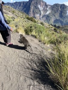
On the way, I met a little monkey.
Because the altitude is relatively high, there are no plants on the road, and we have been exposed to the scorching sun all the way, and finally returned to the camp, already exhausted.
The lunch at noon this day was fried food again (I feel that the food style in Indonesia is deep-fried, with a lot of MSG).
It was already 10:45, and when we got back to the camp, there were a lot fewer tents, and some teams had already started to descend. Because we still have six hours of hiking in the afternoon (I felt a little desperate when I thought about it on the road, I laughed, but I finally walked down), so after eating, I packed my luggage and prepared to go.
Here is the itinerary:
- The most difficult thing is our 3D2N (three days and two nights). After the summit rush is completed on the second day, we have to hike to another camp in the afternoon. This day is the hardest;
- The second most difficult one is 2D1N, arriving at the camp on the first day, reaching the summit on the second day and then going down the mountain. Those tents that have been taken away;
- The easiest one is still 3D2N, but the difference from 1 is that after the summit push is completed on the second day, I choose to give up going to another camp, rest in place in the afternoon, sleep overnight, and then go down the mountain on the third day. That is (2) extended to one more day of rest;
The Guide saw me on the road and told me that if I want to give up the afternoon hike and stay here, it is also possible, after all, it is a private group. I want to come here, I’d better stick to it, so I chose to continue the original itinerary.
The tent was already very stuffy after being exposed to the sun in the morning, and it was very painful to pack things in the tent. After packing, we started our afternoon trek. It was already past 12 o’clock when we set off. The plan was to watch the sunset at camp 2 after hiking for 6 hours. I heard that the sunset is beautiful. But at my speed (which is holding back the team), I may not be able to catch up.
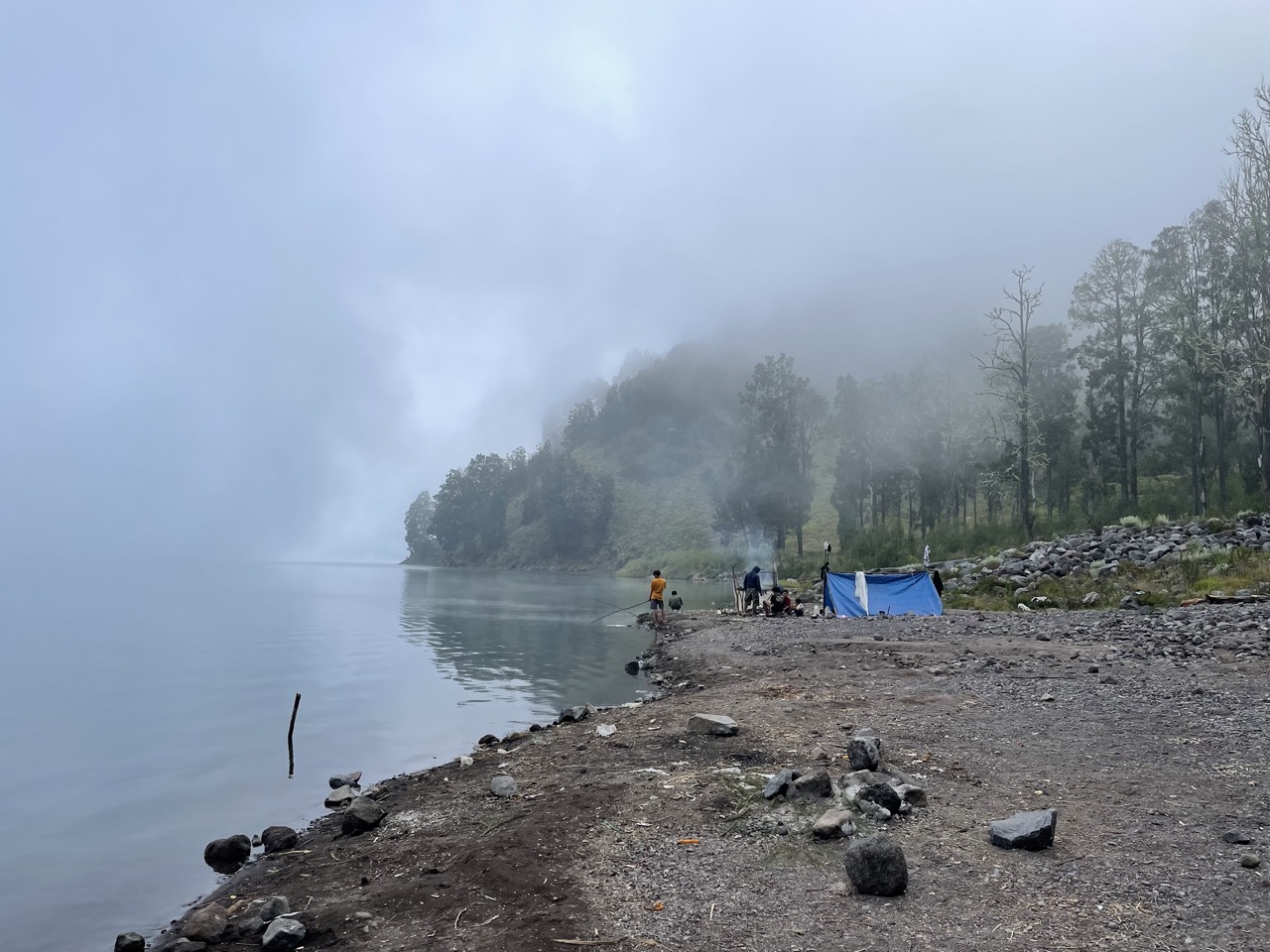
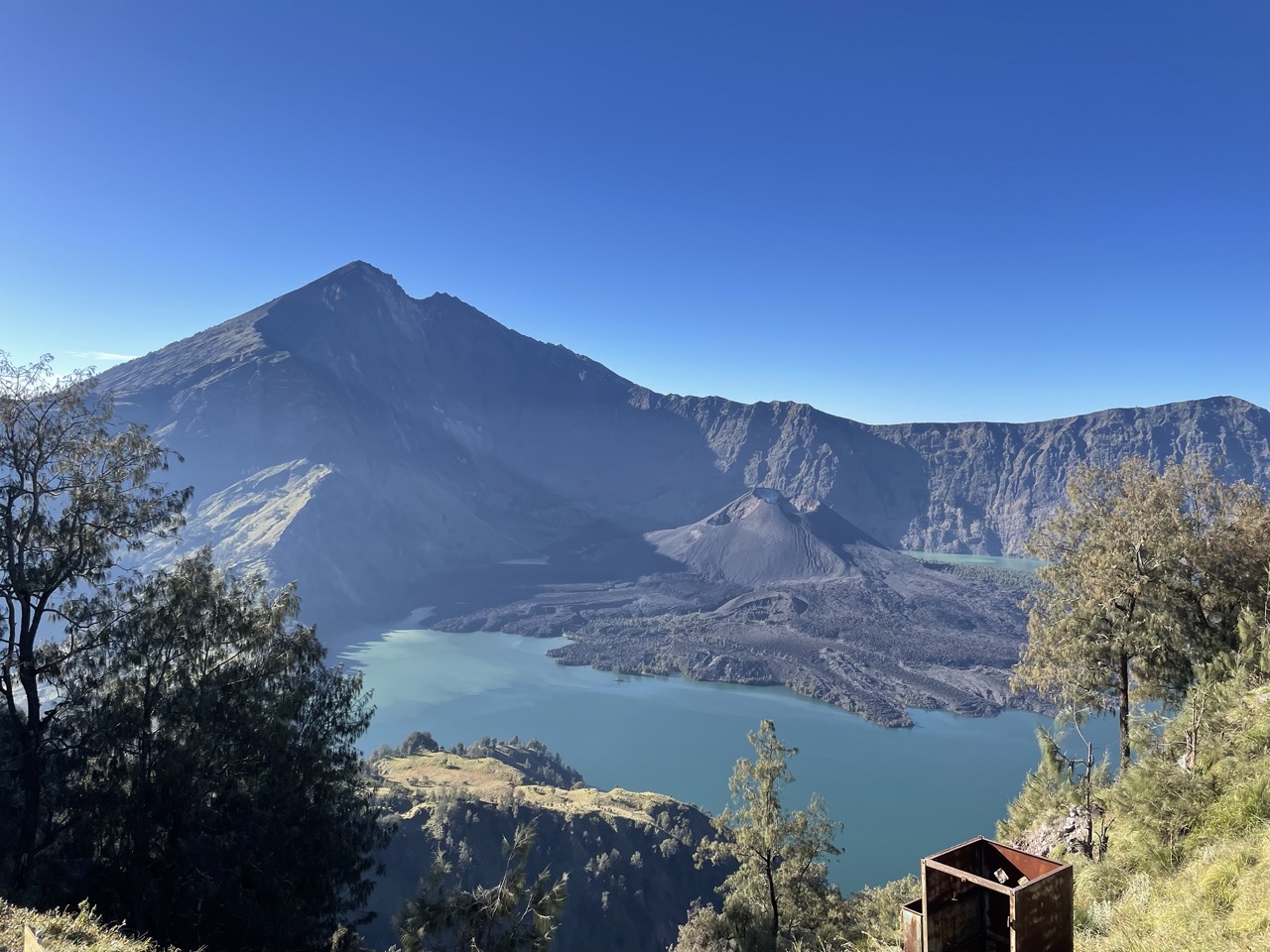
The journey in the afternoon is three hours downhill and three hours uphill. Basically walk around the volcanic lake (the one in the picture), first go down the mountain to the lake, then walk half a circle around the lake, and finally climb up the mountain to camp on another mountain. The location of the camp is actually the mountain that blocks the sun when watching the sunset (the picture above) on the first day. So today’s sunset is not covered by mountains, it should be beautiful.
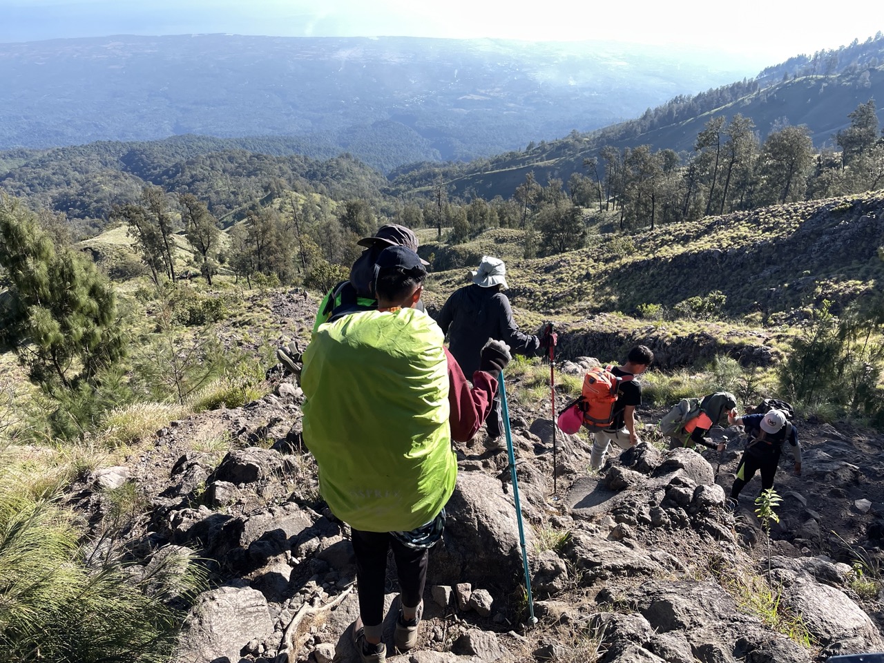
The way down the mountain was much more thrilling than I expected. It was like walking down the stones growing on the cliff, which was almost like rock climbing. Here I would like to thank my hiking shoes. This is the equipment I am most grateful for buying this time. Volcanic ash, water, walking on stone roads, muddy roads, they can all be carried, and they are very durable.
We set off for a while, and Porter caught up after packing up the tents and so on. Porter is on the same path as we are, there are no shortcuts. And just wearing flip-flops feels pretty incredible.
It took about two hours. After walking the stone road, we arrived at the place for lunch. Fortunately, we no longer ate fried food for lunch. Although I still had a bad appetite, I ate a lot. Because Gao Fan’s head was still a little dizzy, he ate a piece of Panadol, and he was much better.
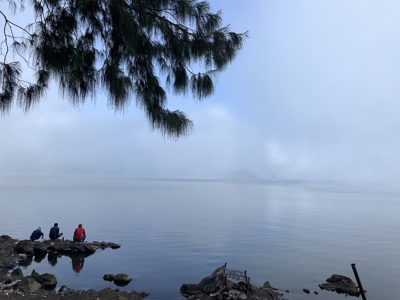
After lunch, it is an hour’s road, which is relatively flat. The current location seems to be in a valley, very close to the volcanic lake in the middle, the road is shrouded in clouds and mist, like a fairyland.
An hour later, we came to the lake. In fact, there is a volcanic hot spring by the lake, but we no longer care about soaking in the hot spring, we just want to get to our destination quickly.
After walking along the lake for a while, we came to the road up the mountain.
The way up the mountain is very steep all the way, just like the steepest part on the first day. In many places, you need to use ropes and ladders to go up. The slope of the ladder is a bit scary.
Finally, we reached the finish line at 7 o’clock, and the sunset has not caught up. After eating, I quickly got into the tent and went to sleep.
Day 3: Downhill
After waking up, I have more confidence in today’s itinerary. After all, it is all the way down the mountain, and there will be no high reaction when going down the mountain, haha.
The way down the mountain is another way, almost all the way is jungle, there is no sun, it seems that there is nothing to record, we completed the 5-hour journey in four hours, and it went smoothly.
Back at the hotel, I took a cold shower, took a good rest, and flew home the next day.
The owner of the hotel is very interesting. He introduced coffee to us, showed us his green beans (selected, each one is of good quality), baked a bag for us that night, and took it home. It was the first time I saw the roasting date Bean of the day.
I used to think that Sumatra is a strong coffee bean after Indonesia, but I didn’t expect that it also has Arabica, which is sour and delicious.
I also bought a handbag. The boss of these peripheral products said that the income will be given to the local coffee farmers and their children.
Notes (for reference only)
Listed some frequently asked questions, if you also want to go (actually quite recommended), you can refer to:
Is there a signal on the mountain?
Most places do not have it. According to my experience, there is no signal in places above 2000 meters above sea level, and there are no camping places.
How much do you tip?
SGD 10 (or 1 million Rp) * Number of participants * The number of service teams (including Guide and Porters) is the minimum standard.
how to buy?
Refer to the link above.
We communicate with the climbing company by mail. Also note that from November to March of the following year is the rainy season and the mountains are closed. Don’t go this time.
What is the total cost?
My total expenditure for this trip is about 4000-5000 RMB, including:
- Air ticket (from Singapore to Lombok)
- For the mountaineering package, you can check the price from my link. The 3D2N price is about 240 USD (3 big brothers took us for three days, and the food is still the same as a restaurant, which feels very value-for-money)
- Shuttle
- Hotel (very cheap, one room can accommodate 4 people, only about 250 CNY…)
- Other phone charges…
What equipment do I need to bring?
- clothing
- Jackets
- Insulation layer
- trousers
- Quick dry clothes (three required)
- In addition to the warm clothes for the summit, short-sleeved shorts are enough for other places. However, there are many weeds on the road, so it is recommended to pack them all up, such as compression socks, yoga pants, ice sleeves and the like. will be much safer
- Auxiliary accessories
- knee pads
- compression socks
- Wool socks (very recommended, a pair can be worn for two days without blisters)
- Water bag (more convenient than drinking water from a water bottle)
- Earplugs (camp can be noisy at night)
- Meals on the road (in fact, you don’t need to bring them, the Guide’s is enough)
- hygiene products
- toilet paper
- Wet wipes (used a lot, no water for washing up along the way)
- Mouthwash
- shooting equipment
- power Bank
- Camera, Go Pro, drone, choose by yourself, there are many scenery that can be photographed
- headlamp
- This is easy to overlook, and it is released separately. I really forgot that I can borrow it from the company before departure.
- Be sure to check if it is fully charged
- Around 100 lumens is more than enough
- drug
- Panadol
- High drug resistance
- band Aid
- Sunscreen (physical sunscreen is OK too, ice sleeves, visor hat)
- Trekking poles (mainly for climbing the summit, stepping on volcanic ash without trekking poles is difficult to walk)
- Hiking shoes (required)
can i come down
Unless the physical fitness is particularly poor, such as being overweight (in fact, I am a fat person), generally there is no problem.
My experience: Don’t just worry about how many roads are ahead, don’t worry too much, have a belief that as long as you take a step forward, you will be a little closer to the end.
The post Going to Indonesia to Climb a Volcano (Mt.Rinjani) first appeared on Kawabanga! .
This article is transferred from: https://www.kawabangga.com/posts/5095
This site is only for collection, and the copyright belongs to the original author.
